Back to AI TrendsInfrastructure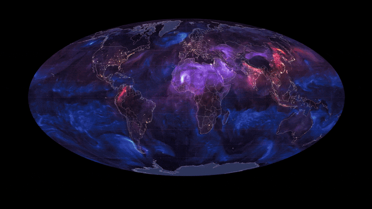
Beyond Static Charts: Esri Unveils Real-Time 'Digital Twins' of Global Climate Data
Fast Company April 1, 2026
Esri is moving mapping from static snapshots to dynamic, real-time data flows that track global temperatures and atmospheric pollutants as they happen. For the C-suite, this represents a shift toward high-fidelity spatial intelligence, essential for monitoring supply chain vulnerabilities and localized environmental risks.
Key Intelligence
- •Apparently, traditional mapping is being replaced by 'living' data streams that visualize the planet's pulse in real-time.
- •Did you hear that Esri is now mapping invisible threats like aerosol swirls and particulate matter alongside global temperatures?
- •The platform, Earth in Action, allows executives to see how climate shifts are physically moving across the map rather than just reading data tables.
- •Apparently, this level of granular, real-time visualization is becoming the new standard for corporate ESG reporting and risk assessment.
- •The system transforms massive planetary datasets into intuitive visuals, making complex environmental shifts understandable for non-technical stakeholders.